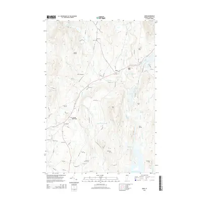
2015 Map of Eden
USGS Topo · Published 2015About this map
Eden and Eden Mills anchor this Lamoille County landscape, situated along the course of the Gihon River and the shores of Lake Eden. The terrain is defined by the high peaks of the Green Mountains, including Bean Mtn and the prominent The Knob, which overlook a complex network of ponds and brooks such as Round Pond, South Pond, and Beaver Meadow Brook. The southern portion of the sheet is dominated by the extensive Green River Reservoir and the Upper Diggings, suggesting a history of resource extraction or land management in the river valley.
Find a feature on this map
88 named features on this map. Tap any name to fly to it.
Don’t see what you’re looking for? This feature index may not catch every label — zoom into the map to look around manually.
Map Details
Editions of this 2015 Eden Map
This is the sole edition of this map. No revisions or reprints were ever made.
Other maps of this area

1919 · Montgomery
USGS Topo · 1:62,500

1920 · Montgomery
USGS Topo · 1:62,500

1920 · Irasburg
USGS Topo · 1:62,500

1923 · Irasburg
USGS Topo · 1:48,000

1925 · Irasburg
USGS Topo · 1:62,500

1925 · Jay Peak
USGS Topo · 1:62,500

1927 · Hyde Park
USGS Topo · 1:48,000

1928 · Hardwick
USGS Topo · 1:62,500

1930 · Hyde Park
USGS Topo · 1:62,500

1934 · Hardwick
USGS Topo · 1:48,000