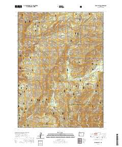
2020 Map of Eden Valley
USGS Topo · Published 2020About this map
Siskiyou National Forest blankets this corner of Coos and Curry counties, where the topography is defined by the steep descent toward the S Fork Coquille River. This modern survey illustrates the complex watershed system feeding the river, including Elk Cr, Barker Cr, and Foggy Cr. The landscape is dominated by prominent high points such as Eden Ridge and Panther Ridge, which hem in the namesake Eden Valley. Notable natural landmarks like Gobblers Knob and Table Rock stand out as navigational markers in a region primarily managed for timber and conservation. The presence of Ash Swamp and Doe Swamp highlights the varied hydrology found at higher elevations above the river canyons.
Find a feature on this map
26 named features on this map. Tap any name to fly to it.
Don’t see what you’re looking for? This feature index may not catch every label — zoom into the map to look around manually.
Map Details
Editions of this 2020 Eden Valley Map
This is the sole edition of this map. No revisions or reprints were ever made.
Other maps of this area
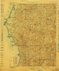
1899 · Port Orford
USGS Topo · 1:125,000
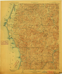
1903 · Port Orford
USGS Topo · 1:125,000
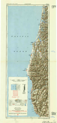
1954 · Coos Bay
USGS Topo · 1:250,000
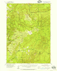
1954 · Bone Mountain
USGS Topo · 1:62,500
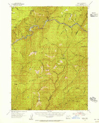
1954 · Marial
USGS Topo · 1:62,500
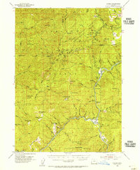
1954 · Agness
USGS Topo · 1:62,500
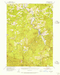
1954 · Powers
USGS Topo · 1:62,500

1955 · Medford
USGS Topo · 1:250,000
1957 · Medford
USGS Topo · 1:250,000
1958 · Medford
USGS Topo · 1:250,000