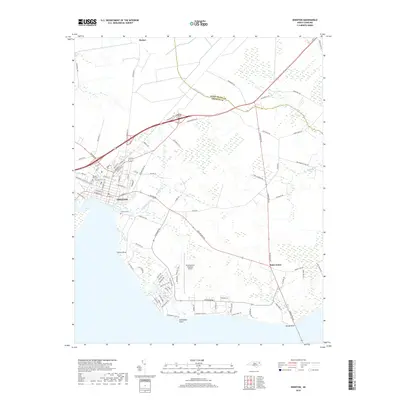
2019 Map of Edenton
USGS Topo · Published 2019About this map
Edenton sits at the junction of the Chowan River and Albemarle Sound, anchoring a landscape where coastal lowlands meet established colonial-era settlement patterns. The street grid of the town center is dense with history, featuring local landmarks such as Beaver Hill Cem and Vine Oak Cem, which provide significant value for genealogical research. To the east, the map traces the rural transition toward the Perquimans County line, crossing through smaller communities like Saint Johns and Barber. The proximity to the water is a defining characteristic, evidenced by numerous coastal features including Horniblow Point, Sandy Point, and the marshes surrounding Pembroke Creek. Moving inland, the Northeastern Regional Airport stands as a modern infrastructure anchor amidst a network of older roads like Old Hertford Rd, illustrating the continued evolution of transport in this coastal region.
Find a feature on this map
89 named features on this map. Tap any name to fly to it.
Don’t see what you’re looking for? This feature index may not catch every label — zoom into the map to look around manually.
Map Details
Editions of this 2019 Edenton Map
This is the sole edition of this map. No revisions or reprints were ever made.
Other maps of this area
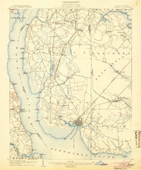
1904 · Edenton
USGS Topo · 1:62,500
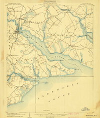
1906 · Hertford
USGS Topo · 1:62,500
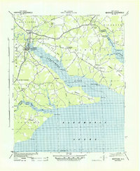
1940 · Hertford
USGS Topo · 1:62,500
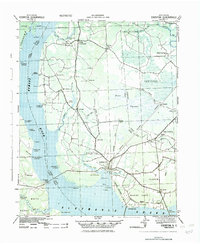
1942 · Edenton
USGS Topo · 1:62,500
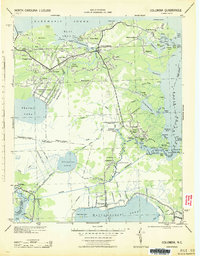
1943 · Columbia
USGS Topo · 1:125,000
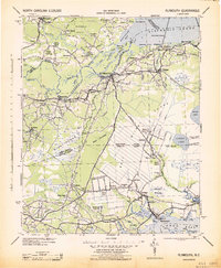
1943 · Plymouth
USGS Topo · 1:125,000
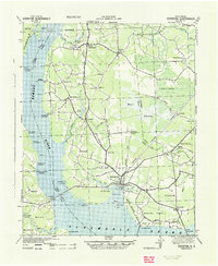
1943 · Edenton
USGS Topo · 1:62,500
1953 · Norfolk
USGS Topo · 1:250,000
1953 · Rocky Mount
USGS Topo · 1:250,000
1954 · Rocky Mount
USGS Topo · 1:250,000