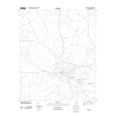
2011 Map of Edgefield
USGS Topo · Published 2011About this map
Edgefield serves as the focal point of this South Carolina landscape, where a dense network of residential streets and local landmarks meets the surrounding agricultural and timber lands. The town's layout is defined by historic corridors like Old Stage Rd and Walker Rd, which branch out toward outlying communities like Parkhill and Huets Crossroads. The area is notably dense with family and community burial grounds, including the Eastview Cemetery, Frazier Cemetery, and the more remote Blocker Cemetery to the northwest. Hydrological patterns are shaped by the winding courses of Beaverdam Creek and Log Creek, punctuated by several reservoirs such as Slade-Lake and Odell Memorial Lake. These water bodies, often regulated by named dams like the South Carolina Noname 19001 D-0910 Dam, reflect the managed water resources common to the region's mid-century development and land use.
Find a feature on this map
83 named features on this map. Tap any name to fly to it.
Don’t see what you’re looking for? This feature index may not catch every label — zoom into the map to look around manually.
Map Details
Editions of this 2011 Edgefield Map
This is the sole edition of this map. No revisions or reprints were ever made.
Other maps of this area

1892 · Mc Cormick
USGS Topo · 1:125,000

1912 · Mc Cormick
USGS Topo · 1:125,000

1920 · Clarks Hill
USGS Topo · 1:48,000

1921 · Clarks Hill
USGS Topo · 1:62,500

1923 · Warrenville
USGS Topo · 1:48,000

1928 · Warrenville
USGS Topo · 1:62,500

1941 · Clarks Hill
USGS Topo · 1:62,500

1942 · Clarks Hill
USGS Topo · 1:62,500

1943 · Warrenville
USGS Topo · 1:62,500

1953 · Athens
USGS Topo · 1:250,000