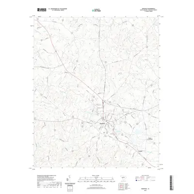
2020 Map of Edgefield
USGS Topo · Published 2020About this map
Edgefield County Courthouse serves as the focal point of this South Carolina landscape, anchoring the historic town of Edgefield. The area's settlement pattern is defined by a network of rural routes and waterway crossings, with Huets Crossroads and Parkhill marking key junctions to the east. The terrain is deeply dissected by numerous watercourses, including Turkey Cr, Log Cr, and Beaverdam Cr, which flow through the undulating countryside surrounding the town.
Find a feature on this map
82 named features on this map. Tap any name to fly to it.
Don’t see what you’re looking for? This feature index may not catch every label — zoom into the map to look around manually.
Map Details
Editions of this 2020 Edgefield Map
This is the sole edition of this map. No revisions or reprints were ever made.
Other maps of this area

1892 · Mc Cormick
USGS Topo · 1:125,000

1912 · Mc Cormick
USGS Topo · 1:125,000

1920 · Clarks Hill
USGS Topo · 1:48,000

1921 · Clarks Hill
USGS Topo · 1:62,500

1923 · Warrenville
USGS Topo · 1:48,000

1928 · Warrenville
USGS Topo · 1:62,500

1941 · Clarks Hill
USGS Topo · 1:62,500

1942 · Clarks Hill
USGS Topo · 1:62,500

1943 · Warrenville
USGS Topo · 1:62,500

1953 · Athens
USGS Topo · 1:250,000