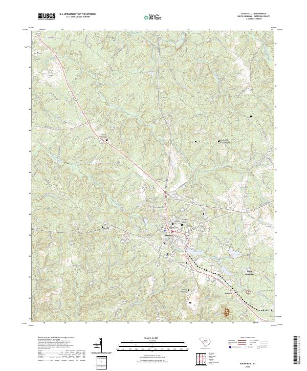
2024 Map of Edgefield
USGS Topo · Published 2024About this map
Edgefield serves as the central hub of this South Carolina landscape, dominated by the historic Edgefield County Courthouse and a dense network of civic and religious sites. The surrounding countryside is defined by its deep genealogical roots, evidenced by numerous family and congregational burial grounds such as the Tutt Family Cem, Simkins Cem, and the Republican Grove Church Graveyard. The terrain is deeply etched by a complex drainage system where Beaverdam Creek and its many tributaries, including Little Beaverdam Creek and Fox Creek, weave through the land before reaching Slade Lake. To the south and east, smaller settlements like Parkhill and Huets Crossroads mark the intersections of rural life, connected by a web of historic routes such as Old Chappell Ferry Rd and Meeting Street Rd.
Find a feature on this map
99 named features on this map. Tap any name to fly to it.
Don’t see what you’re looking for? This feature index may not catch every label — zoom into the map to look around manually.
Map Details
Editions of this 2024 Edgefield Map
This is the sole edition of this map. No revisions or reprints were ever made.
Other maps of this area

1892 · Mc Cormick
USGS Topo · 1:125,000

1912 · Mc Cormick
USGS Topo · 1:125,000

1920 · Clarks Hill
USGS Topo · 1:48,000

1921 · Clarks Hill
USGS Topo · 1:62,500

1923 · Warrenville
USGS Topo · 1:48,000

1928 · Warrenville
USGS Topo · 1:62,500

1941 · Clarks Hill
USGS Topo · 1:62,500

1942 · Clarks Hill
USGS Topo · 1:62,500

1943 · Warrenville
USGS Topo · 1:62,500

1953 · Athens
USGS Topo · 1:250,000