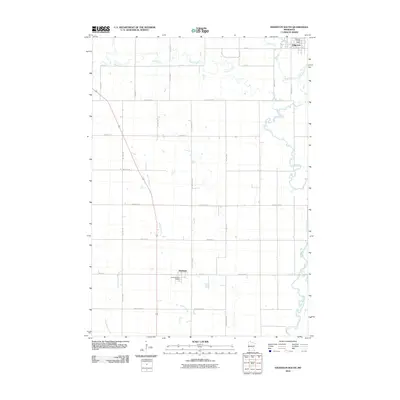
2010 Map of Edgerton South
USGS Topo · Published 2010About this map
Edgerton and Hardwick anchor this corner of Pipestone County, illustrating the enduring grid of southwest Minnesota's agricultural heartland at the turn of the decade. The landscape is defined by the meandering Rock River, which flows through the eastern portion of the area, joined by several smaller tributaries including Poplar Creek and Chanarambie Creek. The map provides a precise layout of the rural road network, from established routes like County Hwy-1 to numerous township roads that partition the prairie. This 2010 survey offers a detailed look at the infrastructure of small-town life, identifying the central Edgerton Post Office and the Hardwick Post Office as focal points for their respective communities. Local waterways like Mound Creek and Little Beaver Creek break the geometric regularity of the section lines, indicating the natural drainage patterns that have shaped land use since early settlement.
Find a feature on this map
30 named features on this map. Tap any name to fly to it.
Don’t see what you’re looking for? This feature index may not catch every label — zoom into the map to look around manually.
Map Details
Editions of this 2010 Edgerton South Map
This is the sole edition of this map. No revisions or reprints were ever made.
Other maps of this area

1955 · Sioux Falls
USGS Topo · 1:250,000

1958 · Sioux Falls
USGS Topo · 1:250,000

1967 · Edgerton South
USGS Topo · 1:24,000

1967 · Magnolia
USGS Topo · 1:24,000

1967 · Edgerton North
USGS Topo · 1:24,000

1967 · Edgerton NE
USGS Topo · 1:24,000

1967 · Kenneth
USGS Topo · 1:24,000

1967 · Jasper SE
USGS Topo · 1:24,000

1967 · Hills NE
USGS Topo · 1:24,000

1967 · Pipestone South
USGS Topo · 1:24,000