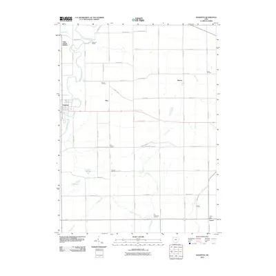
2010 Map of Edgerton
USGS Topo · Published 2010About this map
The Saint Joseph River winds through the western reaches of this Williams County landscape, serving as a primary geographic anchor for the village of Edgerton. North of town, the Denmark Bridge crosses the river near the Valley Springs Addition, while the rural surroundings are defined by a grid of agricultural land and scattered homesteads. The map documents several small crossroads and named locales, including Mina and Melbern, reflecting the persistent settlement patterns of northwest Ohio.
Find a feature on this map
55 named features on this map. Tap any name to fly to it.
Don’t see what you’re looking for? This feature index may not catch every label — zoom into the map to look around manually.
Map Details
Editions of this 2010 Edgerton Map
This is the sole edition of this map. No revisions or reprints were ever made.
Other maps of this area

1914 · Pioneer
USGS Topo · 1:62,500

1914 · Bryan
USGS Topo · 1:62,500

1940 · Metz
USGS Topo · 1:24,000

1943 · Bryan
USGS Topo · 1:62,500

1944 · Pioneer
USGS Topo · 1:62,500

1953 · Fort Wayne
USGS Topo · 1:250,000

1956 · Fort Wayne
USGS Topo · 1:250,000

1958 · Hicksville
USGS Topo · 1:24,000

1958 · Butler East
USGS Topo · 1:24,000

1960 · Sherwood
USGS Topo · 1:24,000