
1958 Map of Hicksville
USGS Topo · Published 1959About this map
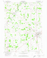
The St Joseph River meanders through the northwest corner of this 1958 survey, defining the border between Indiana and Ohio and anchoring the local geography. The settlement of Hicksville serves as a primary hub in the east, characterized by its grid of streets, a Hospital, and the County Fairgrounds along the Baltimore and Ohio railroad line. This period shows a landscape defined by small rural hubs and family landmarks, including several cemeteries like Evergreen Cem and Wartenbe Cem that offer significant value for genealogical research.
Find a feature on this map
47 named features on this map. Tap any name to fly to it.
Don’t see what you’re looking for? This feature index may not catch every label — zoom into the map to look around manually.
Map Details
Editions of this 1958 Hicksville Map
4 editions found
Other maps of this area

1914 · Bryan
USGS Topo · 1:62,500

1914 · Paulding
USGS Topo · 1:62,500

1943 · Bryan
USGS Topo · 1:62,500

1944 · Paulding
USGS Topo · 1:62,500

1953 · Fort Wayne
USGS Topo · 1:250,000

1956 · Fort Wayne
USGS Topo · 1:250,000

1958 · Grabill
USGS Topo · 1:24,000

1958 · Butler West
USGS Topo · 1:24,000

1958 · Woodburn North
USGS Topo · 1:24,000
1958 · Saint Joe
USGS Topo · 1:24,000