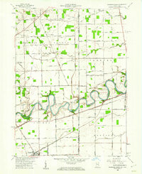
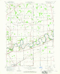
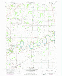
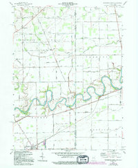
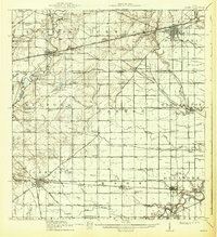
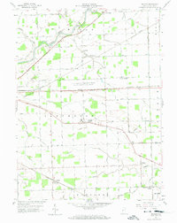
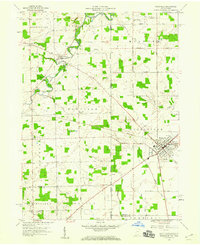
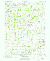
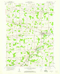
1958 Map of Woodburn North
USGS Topo · Published 1960About this map
The Maumee River defines the landscape as it winds through northeastern Indiana and across the state line into Ohio. This late 1950s survey documents a highly managed agricultural plain where a complex network of man-made waterways like Killian Ditch and Foote Ditch drain the fertile fields of Springfield and Scipio townships. The map shows the era's reliance on both historical river infrastructure, such as the Snyder Canal and Bluecast Canal, and the heavy industrial presence of the Wabash Railroad running parallel to the riverbanks.
Find a feature on this map
91 named features on this map. Tap any name to fly to it.
Don’t see what you’re looking for? This feature index may not catch every label — zoom into the map to look around manually.
Map Details
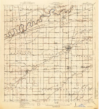
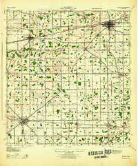
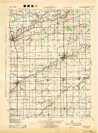
Editions of this 1958 Woodburn North Map
4 editions found
Other maps of this area
1914 · Bryan
USGS Topo · 1:62,500
1914 · Paulding
USGS Topo · 1:62,500
1943 · Bryan
USGS Topo · 1:62,500
1944 · Paulding
USGS Topo · 1:62,500

1953 · Fort Wayne
USGS Topo · 1:250,000

1956 · Fort Wayne
USGS Topo · 1:250,000
1957 · Maples
USGS Topo · 1:24,000
1958 · Hicksville
USGS Topo · 1:24,000
1958 · Grabill
USGS Topo · 1:24,000
1958 · Saint Joe
USGS Topo · 1:24,000