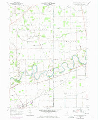
1958 Map of Woodburn North
USGS Topo · Published 1974About this map
The Maumee River meanders across the Indiana and Ohio state line in this mid-century topographical study, serving as the central artery for a landscape defined by its complex drainage network and early transportation corridors. The historic route of the Wabash and Erie Canal is clearly traced alongside the river, paralleling the Norfolk and Western railroad tracks. These features highlight the importance of this corridor in connecting local trade hubs like Woodburn and Antwerp. Small agricultural hamlets and crossroads such as Halls Corners, Notestine, and Georgetown dot the grid of rural roads, many of which bear family names like Hubbard Road and Zuber Road. Cultural landmarks including Bethel Ch and the Sayer Cem provide specific points of interest for genealogists tracing family roots in this border region, while features like Bluecast Spring and various Oil Well sites indicate the area's natural resources and early industrial ventures.
Find a feature on this map
88 named features on this map. Tap any name to fly to it.
Don’t see what you’re looking for? This feature index may not catch every label — zoom into the map to look around manually.
Map Details
Editions of this 1958 Woodburn North Map
4 editions found
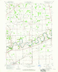
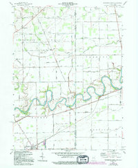
Other maps of this area

1914 · Bryan
USGS Topo · 1:62,500

1914 · Paulding
USGS Topo · 1:62,500

1943 · Bryan
USGS Topo · 1:62,500

1944 · Paulding
USGS Topo · 1:62,500

1953 · Fort Wayne
USGS Topo · 1:250,000

1956 · Fort Wayne
USGS Topo · 1:250,000

1957 · Maples
USGS Topo · 1:24,000

1958 · Hicksville
USGS Topo · 1:24,000

1958 · Grabill
USGS Topo · 1:24,000

1958 · Woodburn North
USGS Topo · 1:24,000