
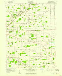
1957 Map of Maples
USGS Topo · Published 1959About this map
The U S Military Reservation Casad Ordnance Depot dominates the central landscape of eastern Allen County, situated between the Wabash RR and the New York Chicago and St Louis RR. This mid-century survey reveals a transition from the industrial rail corridors to the agricultural heritage of Jefferson and Madison townships. The map is particularly rich for those tracing local institutional history, featuring the St Louis Academy and its associated St Louis Academy Cem near Ryan Road.
Find a feature on this map
77 named features on this map. Tap any name to fly to it.
Don’t see what you’re looking for? This feature index may not catch every label — zoom into the map to look around manually.
Map Details
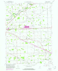
Editions of this 1957 Maples Map
3 editions found
Other maps of this area

1953 · Fort Wayne
USGS Topo · 1:250,000

1953 · Muncie
USGS Topo · 1:250,000

1956 · Muncie
USGS Topo · 1:250,000

1956 · Fort Wayne
USGS Topo · 1:250,000

1956 · Fort Wayne East
USGS Topo · 1:24,000

1956 · Cedarville
USGS Topo · 1:24,000

1958 · Grabill
USGS Topo · 1:24,000

1958 · Woodburn North
USGS Topo · 1:24,000

1958 · Woodburn South
USGS Topo · 1:24,000

1960 · Dixon
USGS Topo · 1:24,000