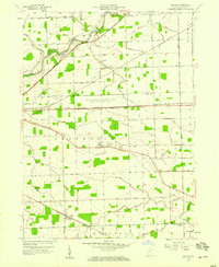
1957 Map of Maples
USGS Topo · Published 1974About this map
The Maumee River and an intricate network of drainage ditches define this agricultural landscape east of Fort Wayne in the late 1950s. A significant portion of the central terrain is occupied by the U S Military Reservation Casad Ordnance Depot, situated between the Wabash RR and the New York Chicago and St Louis RR. This military installation is flanked by small rural settlements and religious centers, such as St Louis Academy and its associated St Louis Academy Cem. The township divisions of Milan, Jefferson, and Madison are clearly marked, showing a grid of family-named roads like Moeller Road and Parent Road. To the south, the Pennsylvania RR passes through the community of Maples, while unique local landmarks like Four Presidents Corners and the settlement of Zulu emphasize the area's distinct regional identity.
Find a feature on this map
44 named features on this map. Tap any name to fly to it.
Don’t see what you’re looking for? This feature index may not catch every label — zoom into the map to look around manually.
Map Details
Editions of this 1957 Maples Map
3 editions found
Other maps of this area

1953 · Fort Wayne
USGS Topo · 1:250,000

1953 · Muncie
USGS Topo · 1:250,000

1956 · Muncie
USGS Topo · 1:250,000

1956 · Fort Wayne
USGS Topo · 1:250,000

1956 · Fort Wayne East
USGS Topo · 1:24,000

1956 · Cedarville
USGS Topo · 1:24,000

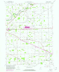
1957 · Maples
USGS Topo · 1:24,000

1958 · Grabill
USGS Topo · 1:24,000

1958 · Woodburn North
USGS Topo · 1:24,000

1958 · Woodburn South
USGS Topo · 1:24,000