
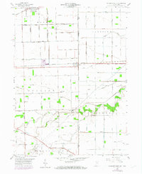
1958 Map of Woodburn South
USGS Topo · Published 1960About this map
Agricultural drainage networks define the borderlands of Allen County, Indiana, and Paulding County, Ohio, in this 1958 topographic study. The landscape is crisscrossed by an intricate system of named ditches, such as Hetrick Ditch and Knoblaugh Ditch, which supported the intensive farming of the Maumee and Benton townships. The New York Chicago and St Louis railroad serves as the primary industrial spine, connecting the grain elevators and small depots of Woodburn, Dawkins, and Edgerton.
Find a feature on this map
97 named features on this map. Tap any name to fly to it.
Don’t see what you’re looking for? This feature index may not catch every label — zoom into the map to look around manually.
Map Details
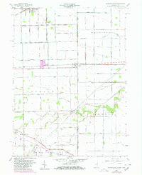
Editions of this 1958 Woodburn South Map
Other maps of this area

1914 · Van Wert
USGS Topo · 1:62,500

1914 · Paulding
USGS Topo · 1:62,500

1944 · Van Wert
USGS Topo · 1:62,500

1944 · Paulding
USGS Topo · 1:62,500

1953 · Fort Wayne
USGS Topo · 1:250,000

1953 · Muncie
USGS Topo · 1:250,000

1956 · Muncie
USGS Topo · 1:250,000

1956 · Fort Wayne
USGS Topo · 1:250,000

1957 · Maples
USGS Topo · 1:24,000

1958 · Grabill
USGS Topo · 1:24,000