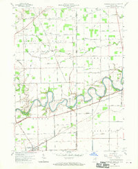
1958 Map of Woodburn North
USGS Topo · Published 1970About this map
The Maumee River winds through the borderlands of Indiana and Ohio, defining the agricultural and transport history of the region. The landscape reflects the transition from canal-era infrastructure to the mid-20th-century road network, most notably where the Erie and Wabash Canal and Wabash and Erie Canal remnants parallel the river's path. In the southwest corner, the growing town of Woodburn is established near these early shipping routes. To the north and east, small settlements like Halls Corners and Georgetown are linked by a dense grid of township roads named for local families, including Knouse Road and Zuber Road. Cultural landmarks such as Scipio Ch, Bethel Ch, and the Diehl Cem are scattered across the agrarian landscape of Springfield and Scipio townships. Notable natural features like Bluecast Spring and the Marie DeLarme Creek system provide drainage into the Maumee, while an isolated Oil Well indicates the local industrial activity of the period.
Find a feature on this map
83 named features on this map. Tap any name to fly to it.
Don’t see what you’re looking for? This feature index may not catch every label — zoom into the map to look around manually.
Map Details
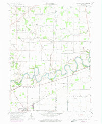
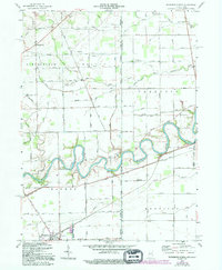
Editions of this 1958 Woodburn North Map
4 editions found
Other maps of this area

1914 · Bryan
USGS Topo · 1:62,500

1914 · Paulding
USGS Topo · 1:62,500

1943 · Bryan
USGS Topo · 1:62,500

1944 · Paulding
USGS Topo · 1:62,500

1953 · Fort Wayne
USGS Topo · 1:250,000

1956 · Fort Wayne
USGS Topo · 1:250,000

1957 · Maples
USGS Topo · 1:24,000

1958 · Hicksville
USGS Topo · 1:24,000

1958 · Grabill
USGS Topo · 1:24,000

1958 · Woodburn North
USGS Topo · 1:24,000