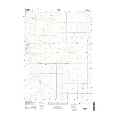
2013 Map of Edgerton
USGS Topo · Published 2013About this map
The Saint Joseph River winds through the northwestern corner of this Williams County landscape, serving as a primary drainage for a network of tributaries including Bluff Run, Ziegler Ditch, and Fish Cr. The village of Edgerton is the primary hub of activity, showing a clear grid of streets such as E River St and E Morrison St. Outside the town center, the land is marked by small agricultural settlements and family holdings like Radabaugh Farms and Appel Farm.
Find a feature on this map
71 named features on this map. Tap any name to fly to it.
Don’t see what you’re looking for? This feature index may not catch every label — zoom into the map to look around manually.
Map Details
Editions of this 2013 Edgerton Map
This is the sole edition of this map. No revisions or reprints were ever made.
Other maps of this area

1914 · Pioneer
USGS Topo · 1:62,500

1914 · Bryan
USGS Topo · 1:62,500

1940 · Metz
USGS Topo · 1:24,000

1943 · Bryan
USGS Topo · 1:62,500

1944 · Pioneer
USGS Topo · 1:62,500

1953 · Fort Wayne
USGS Topo · 1:250,000

1956 · Fort Wayne
USGS Topo · 1:250,000

1958 · Hicksville
USGS Topo · 1:24,000

1958 · Butler East
USGS Topo · 1:24,000

1960 · Sherwood
USGS Topo · 1:24,000