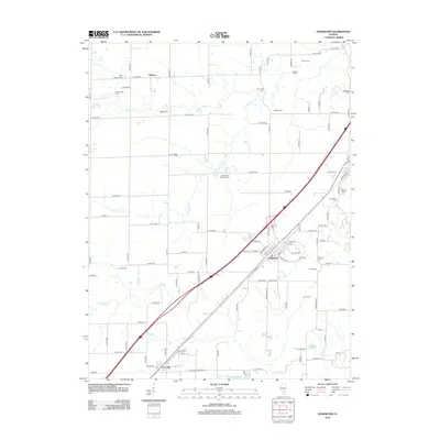
2012 Map of Edgewood
USGS Topo · Published 2012About this map
Edgewood and the nearby community of La Clede anchor this portion of Fayette County, revealing a landscape defined by its rural cemetery network and established transportation corridors. The village of Edgewood is centered around its post office and local street grid, situated at a junction where regional thoroughfares and railroads historically shaped local growth. To the north, the small settlement of Gilmore sits amidst a patchwork of family-named landmarks and rural burial grounds.
Find a feature on this map
99 named features on this map. Tap any name to fly to it.
Don’t see what you’re looking for? This feature index may not catch every label — zoom into the map to look around manually.
Map Details
Editions of this 2012 Edgewood Map
This is the sole edition of this map. No revisions or reprints were ever made.
Other maps of this area

1941 · St. Elmo
USGS Topo · 1:62,500

1945 · St. Elmo
USGS Topo · 1:62,500

1945 · Kinmundy
USGS Topo · 1:62,500

1947 · Kinmundy
USGS Topo · 1:62,500

1950 · Effingham
USGS Topo · 1:62,500

1951 · Effingham
USGS Topo · 1:62,500

1956 · Edgewood
USGS Topo · 1:62,500

1958 · Decatur
USGS Topo · 1:250,000

1958 · Belleville
USGS Topo · 1:250,000

1961 · Decatur
USGS Topo · 1:250,000