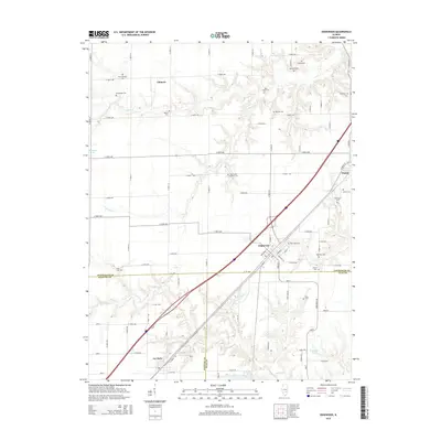
2015 Map of Edgewood
USGS Topo · Published 2015About this map
Edgewood sits at a geographic crossroads where Effingham, Fayette, and Clay Counties converge in southern Illinois. This region is characterized by a dense network of country cemeteries and small rural settlements like Gilmore, Mason, and La Clede. The terrain is defined by the winding paths of Dismal Cr, Limestone Cr, and Fulfer Cr, which cut through the landscape and feed local waters such as Patterson Lake and McArthur Lake. For local historians and genealogists, the map provides a meticulous record of family-named landmarks and burial grounds, including the Saint Anns Catholic Cem, Kavanaugh Cem, and the Beck William Cem. The layout of the road grid, from E 500th Ave down to E 1st Ave, reveals the persistent agricultural structure of the area, punctuated by small clusters of development along the interstate corridor.
Find a feature on this map
85 named features on this map. Tap any name to fly to it.
Don’t see what you’re looking for? This feature index may not catch every label — zoom into the map to look around manually.
Map Details
Editions of this 2015 Edgewood Map
This is the sole edition of this map. No revisions or reprints were ever made.
Other maps of this area

1941 · St. Elmo
USGS Topo · 1:62,500

1945 · St. Elmo
USGS Topo · 1:62,500

1945 · Kinmundy
USGS Topo · 1:62,500

1947 · Kinmundy
USGS Topo · 1:62,500

1950 · Effingham
USGS Topo · 1:62,500

1951 · Effingham
USGS Topo · 1:62,500

1956 · Edgewood
USGS Topo · 1:62,500

1958 · Decatur
USGS Topo · 1:250,000

1958 · Belleville
USGS Topo · 1:250,000

1961 · Decatur
USGS Topo · 1:250,000