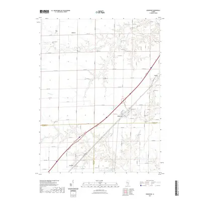
2021 Map of Edgewood
USGS Topo · Published 2021About this map
The borderlands of three counties converge on this landscape, where the settlements of Edgewood, Mason, and La Clede trace a path along the southern Illinois rail and highway corridors. The terrain is defined by the winding drainages of Dismal Cr and Fulfer Cr, which carve through the rural countryside. This area is remarkably dense with family and community burial grounds, serving as a primary resource for genealogical research. Prominent sites include the Beck William Cem in the north and the Saint Annes Cem near the central drainage of Limestone Cr. Further east, Old Mason Cem and Mason Cem sit near the town of Mason, while smaller sites like Faulk Cem and Mahon Cem are located at remote intersections of the county road grid, marking the heritage of early families in the region.
Find a feature on this map
98 named features on this map. Tap any name to fly to it.
Don’t see what you’re looking for? This feature index may not catch every label — zoom into the map to look around manually.
Map Details
Editions of this 2021 Edgewood Map
This is the sole edition of this map. No revisions or reprints were ever made.
Other maps of this area

1941 · St. Elmo
USGS Topo · 1:62,500

1945 · St. Elmo
USGS Topo · 1:62,500

1945 · Kinmundy
USGS Topo · 1:62,500

1947 · Kinmundy
USGS Topo · 1:62,500

1950 · Effingham
USGS Topo · 1:62,500

1951 · Effingham
USGS Topo · 1:62,500

1956 · Edgewood
USGS Topo · 1:62,500

1958 · Decatur
USGS Topo · 1:250,000

1958 · Belleville
USGS Topo · 1:250,000

1961 · Decatur
USGS Topo · 1:250,000