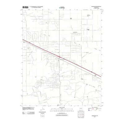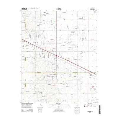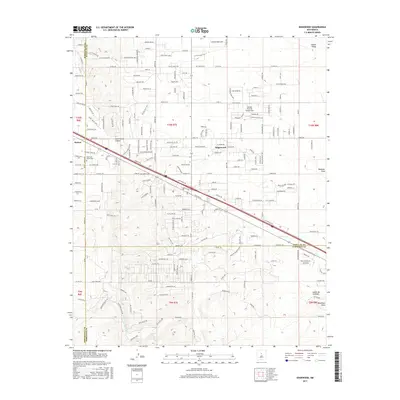
1990 Map of Edgewood
USGS Topo · Published 1996About this map
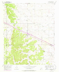
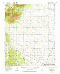
Edgewood sits at a geographic crossroads in central New Mexico, where the plains of the Estancia Valley begin to meet the foothills of the Sandia Mountains. This 1990 revision shows a landscape of transitioning land use, where traditional cattle operations like the Butler Ranch and HS Williams Ranch coexist with newer aviation and residential developments. The northern half of the sheet is marked by the Sandia Airpark Estates East Airport, while the long-abandoned Old Railroad Grade and various pipelines cut through the terrain, indicating the area's importance as a transportation and utility corridor between Albuquerque and the plains.
Find a feature on this map
30 named features on this map. Tap any name to fly to it.
Don’t see what you’re looking for? This feature index may not catch every label — zoom into the map to look around manually.
Map Details
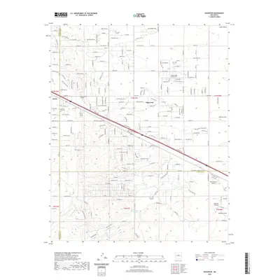
Editions of this 1990 Edgewood Map
This is the sole edition of this map. No revisions or reprints were ever made.
Historical Maps of Edgewood Through Time
8 maps found