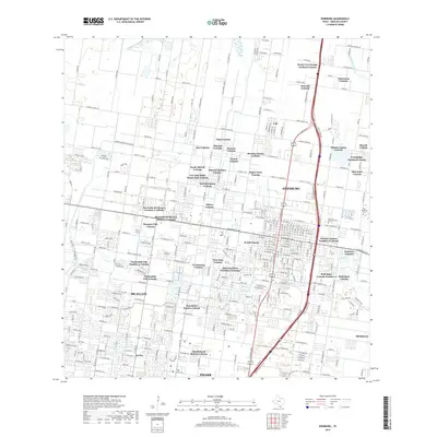
2019 Map of Edinburg
USGS Topo · Published 2019About this map
Edinburg and northern McAllen are shown here during a period of significant residential expansion, characterized by a dense network of colonias. The landscape is defined by its agricultural irrigation roots, with the Edinburg North Main Canal and Santa Cruz Canal providing the essential water infrastructure for the Rio Grande Valley. These waterworks cut through a geometric grid of roads, where traditional agricultural tracts have transitioned into numerous named residential clusters such as Santa Cruz Orange Gardens Colonia and Sauceda Colonia.
Find a feature on this map
94 named features on this map. Tap any name to fly to it.
Don’t see what you’re looking for? This feature index may not catch every label — zoom into the map to look around manually.
Map Details
Editions of this 2019 Edinburg Map
This is the sole edition of this map. No revisions or reprints were ever made.
Other maps of this area
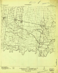
1914 · San Juan
USGS Topo · 1:48,000
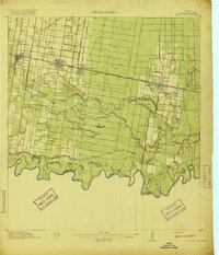
1916 · San Juan
USGS Topo · 1:62,500
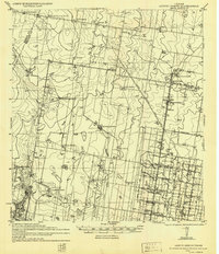
1940 · Monte Christo
USGS Topo · 1:62,500

1949 · Mc Allen
USGS Topo · 1:250,000

1954 · McAllen
USGS Topo · 1:250,000

1957 · Mc Allen
USGS Topo · 1:250,000

1962 · McAllen
USGS Topo · 1:250,000
1963 · Monte Christo
USGS Topo · 1:24,000
1963 · Hargill
USGS Topo · 1:24,000
1963 · Edinburg
USGS Topo · 1:24,000