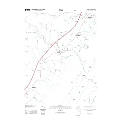
2013 Map of Edinburg
USGS Topo · Published 2013About this map
Edinburg and Woodstock anchor this portion of the Shenandoah Valley, where the winding path of the N Fork Shenandoah River creates a series of dramatic bends. The landscape is defined by the sharp transition from the valley floor to the prominent ridgelines of Powell Mountain Waonaze Peak and Bowman Mountain to the southeast. Smaller settlements like Lantz Mills, Hawkinstown, and Bowmans Crossing are connected by a network of rural roads that skirt the river and the various gaps in the terrain, such as Taskers Gap and Edinburg Gap. Local agricultural and transit history is visible through features like Shenandoah Vineyards and small aviation fields including Karmy's Airport and Longs Airport. The map also captures several local landmarks like the Narrow Passage and the uniquely named Forty Foot Gully.
Find a feature on this map
130 named features on this map. Tap any name to fly to it.
Don’t see what you’re looking for? This feature index may not catch every label — zoom into the map to look around manually.
Map Details
Editions of this 2013 Edinburg Map
This is the sole edition of this map. No revisions or reprints were ever made.
Other maps of this area

1892 · Woodstock
USGS Topo · 1:125,000

1893 · Luray
USGS Topo · 1:125,000

1905 · Luray
USGS Topo · 1:125,000

1923 · Edinburg
USGS Topo · 1:62,500

1929 · Stony Man
USGS Topo · 1:48,000

1933 · Stony Man
USGS Topo · 1:62,500

1942 · Mt Jackson
USGS Topo · 1:62,500

1946 · Mt Jackson
USGS Topo · 1:62,500

1947 · Mt Jackson
USGS Topo · 1:62,500

1947 · Strasburg
USGS Topo · 1:62,500