2022 Map of Edinburg
USGS Topo · Published 2022About this map
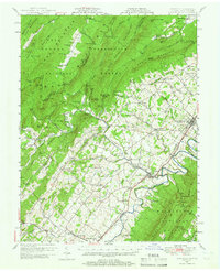
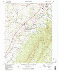
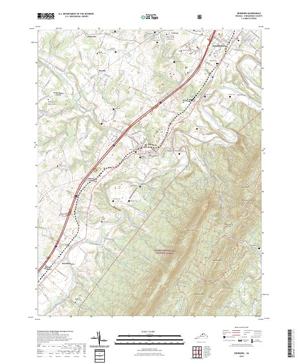
The North Fork Shenandoah River winds through the heart of the Shenandoah Valley, carving out the distinctive loops of the Seven Bends east of Woodstock. This landscape is defined by the proximity of high-elevation ridges in the George Washington National Forest to the east and established agricultural settlements along the valley floor. In Edinburg, local history is anchored by the Cedarwood Cem and Old Edinburg Cem, while the industrial legacy of the region is traced through the Norfolk Southern railroad line running parallel to U S 11. Notable family landmarks like the Lambert-Wolverton Cem and Daniel Bowman Cem near Harmony and Readus offer significant detail for genealogists. The terrain transitions from the river's edge to the prominent heights of Short Mtn and Waonaze Peak, which are accessible via an extensive trail system including the Massanutten Trl.
Find a feature on this map
63 named features on this map. Tap any name to fly to it.
Don’t see what you’re looking for? This feature index may not catch every label — zoom into the map to look around manually.
Map Details
Editions of this 2022 Edinburg Map
This is the sole edition of this map. No revisions or reprints were ever made.
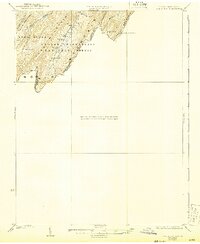
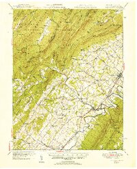
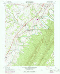
Historical Maps of Hawkinstown Through Time
6 maps found