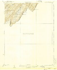
1923 Map of Edinburg
USGS Topo · Published 1943About this map
George Washington National Forest blankets the high ridges along the West Virginia and Virginia border in this topographic study from the early 1920s. The landscape is defined by the parallel elevations of Buck Mountain, North Mountain, and Long Mountain, creating a rugged corridor where small upland communities such as Perry and Rockland are situated. The survey by H.R. Kilmer identifies specific community landmarks including the Mt Vernon Church and the Heishman School, both situated near the headwaters of Trout Run. Notable water features include Lost River and the secluded Trout Pond, while a Forest Service Lookout on Paddy Mountain overlooks the timbered slopes. This map provides researchers with a look at the remote social and physical geography of the Shenandoah region before significant mid-century development altered local access.
Find a feature on this map
22 named features on this map. Tap any name to fly to it.
Don’t see what you’re looking for? This feature index may not catch every label — zoom into the map to look around manually.
Map Details
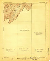
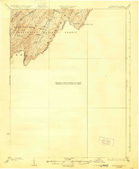
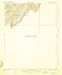
Editions of this 1923 Edinburg Map
5 editions found

Other maps of this area

1891 · Romney
USGS Topo · 1:125,000

1892 · Woodstock
USGS Topo · 1:125,000

1893 · Luray
USGS Topo · 1:125,000

1894 · Winchester
USGS Topo · 1:125,000

1905 · Luray
USGS Topo · 1:125,000

1920 · Moorefield
USGS Topo · 1:62,500

1921 · Orkney Springs
USGS Topo · 1:48,000

1921 · Moorefield
USGS Topo · 1:48,000

1922 · Moorefield
USGS Topo · 1:62,500

1922 · Wardensville
USGS Topo · 1:62,500