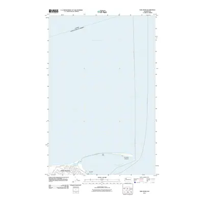
2011 Map of Ediz Hook
USGS Topo · Published 2011About this map
Ediz Hook, a long sand spit extending into the Strait of Juan de Fuca, forms the natural sheltering breakwater for Port Angeles Harbor. This 2011 survey illustrates the maritime and military significance of the landform, which supports the Port Angeles Coast Guard Air Station at its terminus. On the mainland, the street grid of Port Angeles is clearly defined, showing the city's relationship with the waterfront through features like the Port Angeles Boat Haven. The map captures the international boundary between Canada and the United States just offshore, alongside a ferry route marked as Port Angeles-Victoria. The presence of The Lagoon at the base of the hook suggests the dynamic coastal processes that shaped this northern Olympic Peninsula shoreline.
Find a feature on this map
31 named features on this map. Tap any name to fly to it.
Don’t see what you’re looking for? This feature index may not catch every label — zoom into the map to look around manually.
Map Details
Editions of this 2011 Ediz Hook Map
This is the sole edition of this map. No revisions or reprints were ever made.
Other maps of this area

1918 · Port Angeles
USGS Topo · 1:62,500

1919 · Port Crescent
USGS Topo · 1:62,500

1941 · Port Angeles
USGS Topo · 1:62,500

1950 · Elwha
USGS Topo · 1:24,000

1950 · Ediz Hook
USGS Topo · 1:24,000
1950 · Angeles Point
USGS Topo · 1:24,000
1950 · Port Angeles
USGS Topo · 1:24,000
1950 · Joyce
USGS Topo · 1:62,500
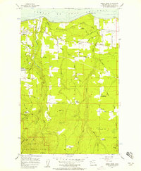
1956 · Morse Creek
USGS Topo · 1:24,000

1957 · Victoria
USGS Topo · 1:250,000