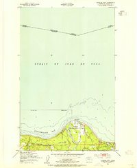
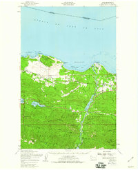
1950 Map of Angeles Point
USGS Topo · Published 1955About this map
Angeles Point reaches into the Strait of Juan de Fuca on this mid-century survey of the Clallam County coastline. The landscape is defined by the outlet of the Elwha River, where the Chicago Milwaukee St Paul and Pacific railroad follows the shoreline through Elwha Station and Lower Elwha. This transportation corridor was central to the region's movement of timber and goods between the Olympic Peninsula interior and the shipping lanes of Freshwater Bay.
Find a feature on this map
17 named features on this map. Tap any name to fly to it.
Don’t see what you’re looking for? This feature index may not catch every label — zoom into the map to look around manually.
Map Details
Editions of this 1950 Angeles Point Map
2 editions found
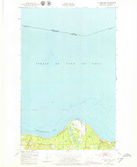
Other maps of this area

1918 · Port Angeles
USGS Topo · 1:62,500

1919 · Port Crescent
USGS Topo · 1:62,500

1941 · Port Angeles
USGS Topo · 1:62,500

1950 · Elwha
USGS Topo · 1:24,000

1950 · Ediz Hook
USGS Topo · 1:24,000

1950 · Lake Sutherland
USGS Topo · 1:24,000
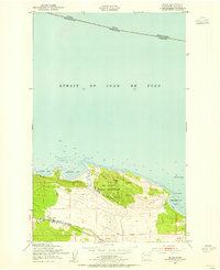
1950 · Joyce
USGS Topo · 1:24,000
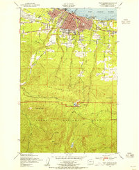
1950 · Port Angeles
USGS Topo · 1:24,000
1950 · Joyce
USGS Topo · 1:62,500

1957 · Victoria
USGS Topo · 1:250,000