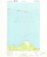
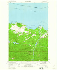
1950 Map of Angeles Point
USGS Topo · Published 1979About this map
Angeles Point projects into the Strait of Juan de Fuca, marking a coastline where the Elwha River meets the tidal waters of Freshwater Bay. The landscape is defined by the Lower Elwha Indian Reservation, which encompasses the river delta and the settlement of Lower Elwha. Inland, the terrestrial geography shows a transition from coastal flats to higher ground, where the Old Railroad Grade and Old RR Grade trace the historical transportation corridor of the Olympic Peninsula.
Find a feature on this map
18 named features on this map. Tap any name to fly to it.
Don’t see what you’re looking for? This feature index may not catch every label — zoom into the map to look around manually.
Map Details
Editions of this 1950 Angeles Point Map
2 editions found
Other maps of this area

1918 · Port Angeles
USGS Topo · 1:62,500

1919 · Port Crescent
USGS Topo · 1:62,500

1941 · Port Angeles
USGS Topo · 1:62,500

1950 · Elwha
USGS Topo · 1:24,000

1950 · Ediz Hook
USGS Topo · 1:24,000

1950 · Lake Sutherland
USGS Topo · 1:24,000
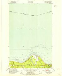
1950 · Angeles Point
USGS Topo · 1:24,000
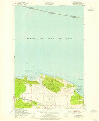
1950 · Joyce
USGS Topo · 1:24,000
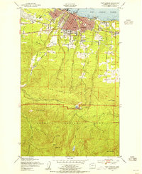
1950 · Port Angeles
USGS Topo · 1:24,000
1950 · Joyce
USGS Topo · 1:62,500