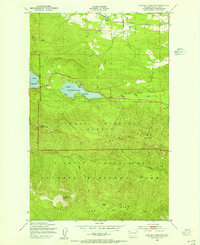
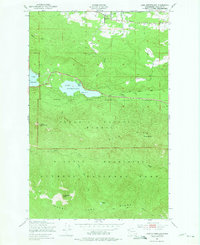
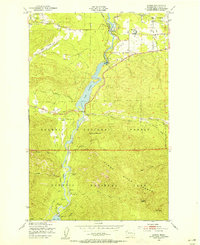
1950 Map of Lake Sutherland
USGS Topo · Published 1955About this map
Lake Sutherland sits at the heart of this mid-century survey, flanked by the residential pockets of Maple Grove and Snug Harbor. To the west, the eastern shoreline of Lake Crescent enters the frame, marking a gateway into the heavily forested interior of the Olympic Peninsula. The northern boundary is defined by the Chicago Milwaukee St Paul and Pacific rail line passing through the settlement of Ramapo, while the Olympic Highway traces the northern shore of the lake, illustrating the primary transportation corridor of the era.
Find a feature on this map
27 named features on this map. Tap any name to fly to it.
Don’t see what you’re looking for? This feature index may not catch every label — zoom into the map to look around manually.
Map Details
Editions of this 1950 Lake Sutherland Map
3 editions found

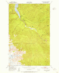
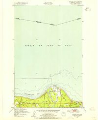
Other maps of this area

1918 · Lake Crescent
USGS Topo · 1:62,500
1919 · Port Crescent
USGS Topo · 1:62,500
1922 · Lake Crescent
USGS Topo · 1:62,500

1935 · Mount Olympus
USGS Topo · 1:62,500

1939 · Mount Tom
USGS Topo · 1:62,500

1942 · Mount Olympus
USGS Topo · 1:62,500
1950 · Elwha
USGS Topo · 1:24,000
1950 · Hurricane Hill
USGS Topo · 1:24,000
1950 · Angeles Point
USGS Topo · 1:24,000

1950 · Joyce
USGS Topo · 1:24,000