
1950 Map of Hurricane Hill
USGS Topo · Published 1955About this map
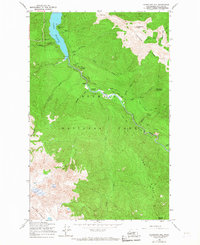
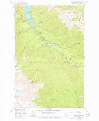
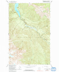
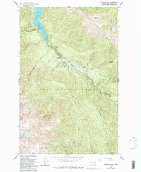
Elwha River flows through the center of this mountain landscape, carving deep paths through Rica Canyon and the Grand Canyon before reaching the waters of Lake Mills. Surveyed just after the war, the map reveals a wilderness managed for both conservation and early tourism within Olympic National Park. Notable human imprints include Michaels Ranch and Humes Ranch along the riverbanks, as well as high-altitude outposts like the Hurricane Hill Lookout. The network of back-country infrastructure is documented through established shelters such as Lillian Shelter and Idaho Shelter, connected by the Hurricane Trail. To the southwest, the Bailey Range rises sharply, with Mount Fitzhenry and Lost Cabin Mountain defining the high-elevation drainage basins that feed numerous tributaries like Cat Creek and Wolf Creek.
Find a feature on this map
43 named features on this map. Tap any name to fly to it.
Don’t see what you’re looking for? This feature index may not catch every label — zoom into the map to look around manually.
Map Details
Editions of this 1950 Hurricane Hill Map
5 editions found
Other maps of this area

1918 · Port Angeles
USGS Topo · 1:62,500

1919 · Port Crescent
USGS Topo · 1:62,500

1935 · Mount Olympus
USGS Topo · 1:62,500

1938 · Mt Constance
USGS Topo · 1:125,000

1941 · Port Angeles
USGS Topo · 1:62,500

1942 · Mount Olympus
USGS Topo · 1:62,500

1944 · Mt. Angeles
USGS Topo · 1:62,500

1946 · Mt. Angeles
USGS Topo · 1:62,500

1950 · Elwha
USGS Topo · 1:24,000

1950 · Lake Sutherland
USGS Topo · 1:24,000