
2013 Map of Edler
USGS Topo · Published 2013About this map
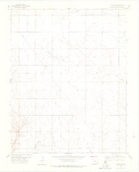
Comanche National Grassland dominates the northern landscape of this corner of Baca County, where the high plains are carved by a complex network of arroyos and canyons. The namesake settlement of Edler sits near the eastern edge, a small hub in a grid of county roads that navigate the arid terrain. The water geography is defined by the diverging paths of the North Fork Sand Arroyo and the South Fork Sand Arroyo, which drain toward Sand Arroyo Creek.
Find a feature on this map
35 named features on this map. Tap any name to fly to it.
Don’t see what you’re looking for? This feature index may not catch every label — zoom into the map to look around manually.
Map Details
Editions of this 2013 Edler Map
This is the sole edition of this map. No revisions or reprints were ever made.
Other maps of this area
1891 · Springfield
USGS Topo · 1:125,000
1893 · Springfield
USGS Topo · 1:125,000
1955 · La Junta
USGS Topo · 1:250,000
1958 · La Junta
USGS Topo · 1:250,000
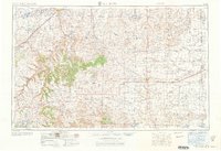
1968 · La Junta
USGS Topo · 1:250,000
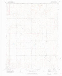
1978 · Edler
USGS Topo · 1:24,000
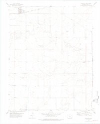
1978 · Pritchett
USGS Topo · 1:24,000
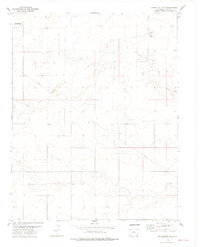
1978 · Springfield SW
USGS Topo · 1:24,000
1978 · Campo SW
USGS Topo · 1:24,000
1978 · Lone Rock
USGS Topo · 1:24,000