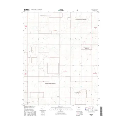
2016 Map of Edler
USGS Topo · Published 2016About this map
The Edler settlement area of Baca County is defined by a network of drainage systems and the sprawling tracts of the Comanche National Grassland. This 2016 survey shows the arid landscape of southeastern Colorado, where water sources like Edler Well were critical for sustaining life and ranching operations. The topography is carved by significant relief, notably through North Ute Canyon and the several branches of the Sand Arroyo system.
Find a feature on this map
25 named features on this map. Tap any name to fly to it.
Don’t see what you’re looking for? This feature index may not catch every label — zoom into the map to look around manually.
Map Details
Editions of this 2016 Edler Map
This is the sole edition of this map. No revisions or reprints were ever made.
Other maps of this area
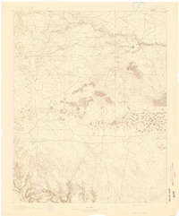
1891 · Springfield
USGS Topo · 1:125,000
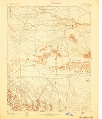
1893 · Springfield
USGS Topo · 1:125,000
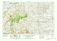
1955 · La Junta
USGS Topo · 1:250,000
1958 · La Junta
USGS Topo · 1:250,000
1968 · La Junta
USGS Topo · 1:250,000
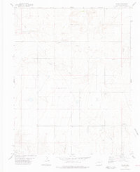
1978 · Edler
USGS Topo · 1:24,000
1978 · Pritchett
USGS Topo · 1:24,000
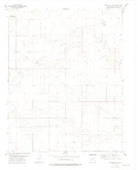
1978 · Springfield SW
USGS Topo · 1:24,000
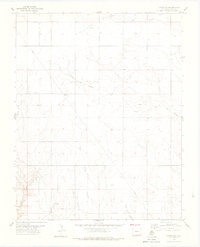
1978 · Campo SW
USGS Topo · 1:24,000
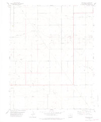
1978 · Lone Rock
USGS Topo · 1:24,000