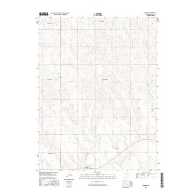
2015 Map of Edmond
USGS Topo · Published 2015About this map
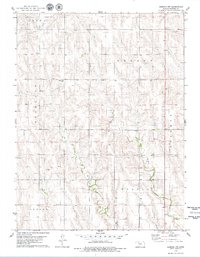
Edmond anchors the southern edge of this landscape in Norton County, situated along the valley of the N Fork Solomon River. The terrain is defined by a dense network of seasonal drainages, including Otter Cr, Game Cr, Sand Cr, and Big Timber Cr, which have carved intricate contours into the high plains. A rigid section-line road system, featuring labels like Road S and Road W, crisscrosses the township boundaries of T3S, T4S, and T5S. Genealogists will find the Edmond Cem just north of the town site, while the local street grid including Townsend St marks the small residential core. This 2015 data reflects the enduring rural character of western Kansas, where the settlement pattern remains closely tied to the watercourses that feed into the Solomon River system.
Find a feature on this map
29 named features on this map. Tap any name to fly to it.
Don’t see what you’re looking for? This feature index may not catch every label — zoom into the map to look around manually.
Map Details
Editions of this 2015 Edmond Map
This is the sole edition of this map. No revisions or reprints were ever made.
Other maps of this area
1893 · Norton
USGS Topo · 1:125,000
1951 · Norton
USGS Topo · 1:62,500

1955 · Beloit
USGS Topo · 1:250,000

1959 · Beloit
USGS Topo · 1:250,000
1978 · Calvert
USGS Topo · 1:24,000
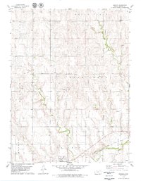
1978 · Edmond
USGS Topo · 1:24,000
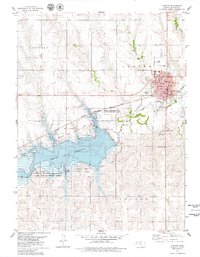
1978 · Norton
USGS Topo · 1:24,000
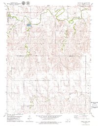
1978 · Lenora East
USGS Topo · 1:24,000
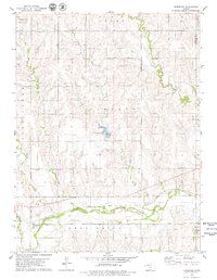
1978 · Densmore
USGS Topo · 1:24,000
1978 · Edmond NW
USGS Topo · 1:24,000