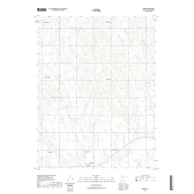
2018 Map of Edmond
USGS Topo · Published 2018About this map
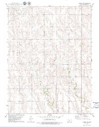
Edmond anchors the southern edge of this western Kansas landscape, situated just north of the N-Fork Solomon River. The area is defined by a dense network of sectional roads and a series of northward-flowing tributaries that carve through the plains, including Otter Creek, Game Creek, and Sand Creek. Genealogists and local historians will find the Edmond Cem north of the main settlement, providing a localized point for family research in Norton County. The town site itself is small, centered on Townsend St and surrounded by vast agricultural acreage. This 2018 survey reveals the persistent grid of the Public Land Survey System, with boundaries such as t4s r22w and t4s r23w clearly delineated across the drainage basins of Big Timber Creek.
Find a feature on this map
29 named features on this map. Tap any name to fly to it.
Don’t see what you’re looking for? This feature index may not catch every label — zoom into the map to look around manually.
Map Details
Editions of this 2018 Edmond Map
This is the sole edition of this map. No revisions or reprints were ever made.
Other maps of this area
1893 · Norton
USGS Topo · 1:125,000
1951 · Norton
USGS Topo · 1:62,500

1955 · Beloit
USGS Topo · 1:250,000

1959 · Beloit
USGS Topo · 1:250,000
1978 · Calvert
USGS Topo · 1:24,000
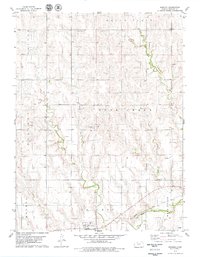
1978 · Edmond
USGS Topo · 1:24,000
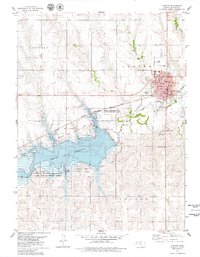
1978 · Norton
USGS Topo · 1:24,000
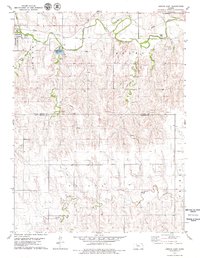
1978 · Lenora East
USGS Topo · 1:24,000
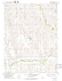
1978 · Densmore
USGS Topo · 1:24,000
1978 · Edmond NW
USGS Topo · 1:24,000