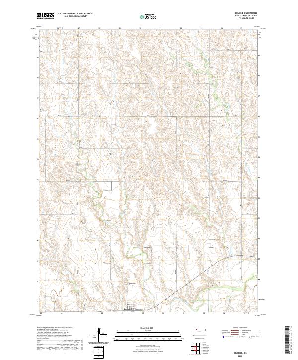
2022 Map of Edmond
USGS Topo · Published 2022About this map
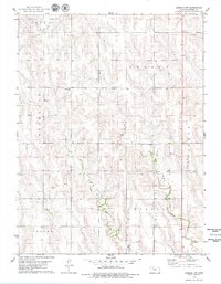
Edmond sits along the southern edge of this North Central Kansas landscape, positioned just north of the N Fork Solomon River. The terrain is defined by a dense network of drainage systems including Big Timber Cr, Sand Cr, Game Cr, and Otter Cr that carve through the plains. This 2022 survey illustrates the enduring rural layout of Norton County, where a precise grid of local roads like Road S and Road W provides access to the agricultural uplands. For those researching local heritage, the Edmond Cem is a prominent landmark situated just north of the main settlement near Rd E-4. The map captures the quiet intersection of water and roadway that has long characterized this portion of the Solomon River valley.
Find a feature on this map
29 named features on this map. Tap any name to fly to it.
Don’t see what you’re looking for? This feature index may not catch every label — zoom into the map to look around manually.
Map Details
Editions of this 2022 Edmond Map
This is the sole edition of this map. No revisions or reprints were ever made.
Other maps of this area

1893 · Norton
USGS Topo · 1:125,000

1951 · Norton
USGS Topo · 1:62,500

1955 · Beloit
USGS Topo · 1:250,000

1959 · Beloit
USGS Topo · 1:250,000
1978 · Calvert
USGS Topo · 1:24,000

1978 · Edmond
USGS Topo · 1:24,000
1978 · Norton
USGS Topo · 1:24,000

1978 · Lenora East
USGS Topo · 1:24,000
1978 · Densmore
USGS Topo · 1:24,000
1978 · Edmond NW
USGS Topo · 1:24,000