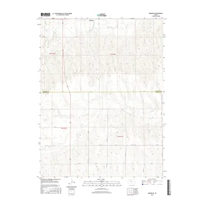
2015 Map of Edmond SE
USGS Topo · Published 2015About this map
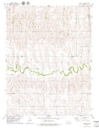
The N Fork Solomon River winds through the northern portion of this landscape, just south of the community of Edmond. This region is defined by the transition between the agricultural uplands and the river valleys that drain the high plains of western Kansas. The boundary between Norton Co and Graham Co cuts east-to-west across the center of the sheet, marked by EE Rd. To the south, the drainage of Bow Cr creates a series of breaks and draws that punctuate the grid of local section roads, including AA Rd and 320 Th Rd. The map illustrates the persistent structure of the Public Land Survey System, where townships like t5s r23w and t6s r22w dictate the rural settlement pattern and the placement of long-established county roads.
Find a feature on this map
33 named features on this map. Tap any name to fly to it.
Don’t see what you’re looking for? This feature index may not catch every label — zoom into the map to look around manually.
Map Details
Editions of this 2015 Edmond SE Map
This is the sole edition of this map. No revisions or reprints were ever made.
Other maps of this area
1893 · Norton
USGS Topo · 1:125,000
1893 · Hill
USGS Topo · 1:125,000

1955 · Beloit
USGS Topo · 1:250,000

1959 · Beloit
USGS Topo · 1:250,000
1978 · Edmond
USGS Topo · 1:24,000
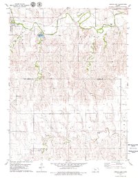
1978 · Lenora East
USGS Topo · 1:24,000
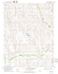
1978 · Densmore
USGS Topo · 1:24,000
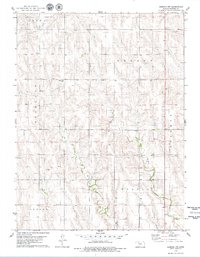
1978 · Edmond NW
USGS Topo · 1:24,000
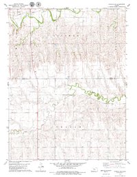
1978 · Edmond SE
USGS Topo · 1:24,000
1979 · Logan SW
USGS Topo · 1:24,000