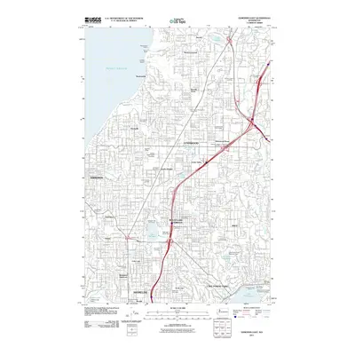
2011 Map of Edmonds East
USGS Topo · Published 2011About this map
Lynnwood and Mountlake Terrace serve as the central hubs in this suburban landscape north of Seattle. The 2011 survey details a densely developed corridor where transportation networks like the Interurban Trail reflect the region's transition from early 20th-century rail to modern highway infrastructure. Residential clusters such as Esperance and Brier are interspersed with significant community landmarks, including the Holyrood Cemetery and the Central Washington University satellite campus.
Find a feature on this map
67 named features on this map. Tap any name to fly to it.
Don’t see what you’re looking for? This feature index may not catch every label — zoom into the map to look around manually.
Map Details
Editions of this 2011 Edmonds East Map
This is the sole edition of this map. No revisions or reprints were ever made.
Other maps of this area

1894 · Seattle
USGS Topo · 1:62,500

1895 · Snohomish
USGS Topo · 1:125,000

1897 · Seattle
USGS Topo · 1:125,000

1908 · Seattle
USGS Topo · 1:62,500

1909 · Seattle Special
USGS Topo · 1:62,500

1942 · Edmonds
USGS Topo · 1:62,500

1944 · Everett
USGS Topo · 1:62,500

1949 · Shilshole Bay
USGS Topo · 1:24,000

1949 · Seattle North
USGS Topo · 1:24,000

1950 · Kirkland
USGS Topo · 1:24,000