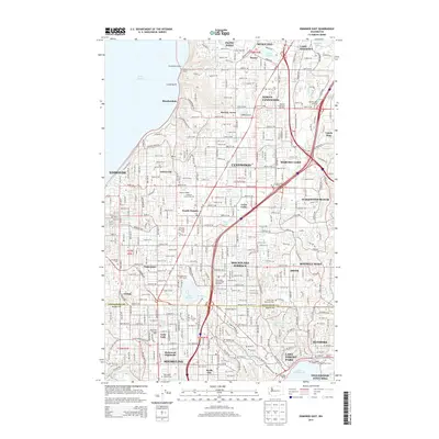
2014 Map of Edmonds East
USGS Topo · Published 2014About this map
The boundary between Snohomish Co and King Co divides a landscape defined by rapid suburban expansion and critical transit infrastructure. The corridor along Wa-99 and Aurora Ave N serves as the primary spine for established communities like Edmonds, Lynnwood, and Shoreline. This 2014 survey documents a mature residential network punctuated by massive transit hubs including the Ash Way Park and Ride and Mountlake Terrace Park and Ride. Notable cultural landmarks are interspersed throughout the residential blocks, ranging from the campus of Edmonds Community Coll to significant burial grounds such as Holyrood Cem and Abbey View Memorial Park. Near the coast of Puget Sound, the terrain drops into Lunds Gulch, providing a glimpse of the original topography before the dense settlement of neighborhoods like Perrinville and Beverly Acres.
Find a feature on this map
74 named features on this map. Tap any name to fly to it.
Don’t see what you’re looking for? This feature index may not catch every label — zoom into the map to look around manually.
Map Details
Editions of this 2014 Edmonds East Map
This is the sole edition of this map. No revisions or reprints were ever made.
Other maps of this area

1894 · Seattle
USGS Topo · 1:62,500

1895 · Snohomish
USGS Topo · 1:125,000

1897 · Seattle
USGS Topo · 1:125,000

1908 · Seattle
USGS Topo · 1:62,500

1909 · Seattle Special
USGS Topo · 1:62,500

1942 · Edmonds
USGS Topo · 1:62,500

1944 · Everett
USGS Topo · 1:62,500

1949 · Shilshole Bay
USGS Topo · 1:24,000

1949 · Seattle North
USGS Topo · 1:24,000

1950 · Kirkland
USGS Topo · 1:24,000