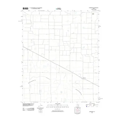
1965 Map of Edmonson
USGS Topo · Published 1968About this map
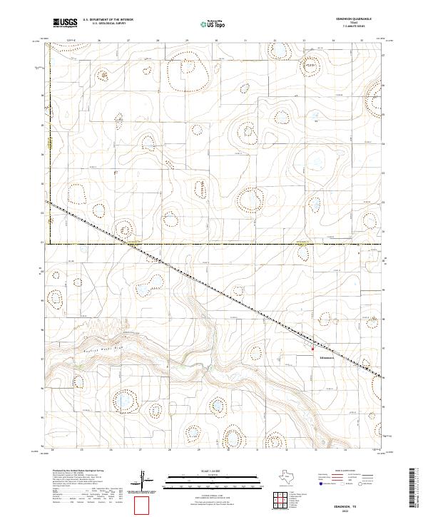
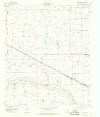
Edmonson and the high plains of the Texas Panhandle are captured during the mid-1960s, a period defined by intensive agricultural development and a critical reliance on the Fort Worth and Denver railroad. The settlement of Edmonson sits as a primary rail point, marked by a prominent Storage Bin that suggests the importance of grain storage and shipping in the local economy. To the north, the small community of Center Plains is visible near the county line, while the landscape is dotted with numerous wells and isolated depressions characteristic of the Llano Estacado. The southern portion of the map is dominated by the meandering course of Running Water Draw, which cuts through the topography and serves as a site for industrial activity, including a Gravel Pit.
Find a feature on this map
11 named features on this map. Tap any name to fly to it.
Don’t see what you’re looking for? This feature index may not catch every label — zoom into the map to look around manually.
Map Details
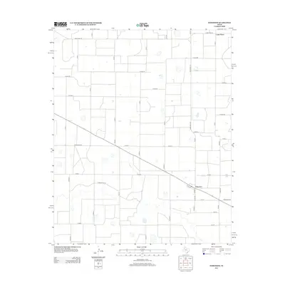
Editions of this 1965 Edmonson Map
This is the sole edition of this map. No revisions or reprints were ever made.
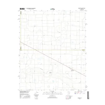
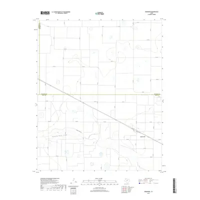
Historical Maps of Edmonson Through Time
6 maps found