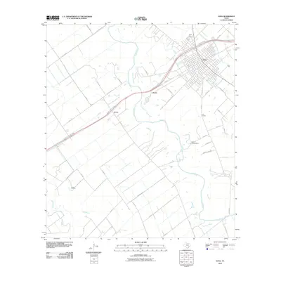
2010 Map of Edna
USGS Topo · Published 2010About this map
The city of Edna serves as the focal point of this Jackson County survey, situated at the crossroads of the Lavaca River and major transit corridors. The landscape is characterized by a dense network of country roads and family-named landmarks that trace the evolution of local landholdings. Small outlying settlements like Matilda, El Toro, and the site of Camp Independence are distributed across the drainage basins of Dry Creek and Arenosa Creek, marking the rural character of the area outside the town center.
Find a feature on this map
50 named features on this map. Tap any name to fly to it.
Don’t see what you’re looking for? This feature index may not catch every label — zoom into the map to look around manually.
Map Details
Editions of this 2010 Edna Map
This is the sole edition of this map. No revisions or reprints were ever made.
Other maps of this area

1951 · Inez
USGS Topo · 1:24,000

1952 · Manson
USGS Topo · 1:24,000

1952 · Edna
USGS Topo · 1:24,000

1952 · La Salle
USGS Topo · 1:24,000

1952 · Marcado Creek
USGS Topo · 1:24,000

1952 · Lolita
USGS Topo · 1:24,000

1953 · Beeville
USGS Topo · 1:250,000

1953 · Seguin
USGS Topo · 1:250,000

1956 · Beeville
USGS Topo · 1:250,000

1958 · Seguin
USGS Topo · 1:250,000