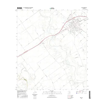
2016 Map of Edna
USGS Topo · Published 2016About this map
The city of Edna serves as the central hub of this 2016 Jackson County survey, showcasing its established grid of streets including W Main St and Blackjack St. The landscape is defined by the winding course of the Lavaca River, which snakes southward through the coastal prairie. The small community of El Toro sits along the highway to the southwest, while the county line between Jackson Co and Victoria Co is marked by the path of Arenosa Cr. Genealogists will find notable sites such as Prairie City Cem north of the city and the more remote Gideon Cem near Gideon Baptist Chur. Local aviation and infrastructure are represented by the Kubecka Flying Service Inc. and a complex network of Farm-to-Market roads connecting outlying rural lands to the urban center.
Find a feature on this map
106 named features on this map. Tap any name to fly to it.
Don’t see what you’re looking for? This feature index may not catch every label — zoom into the map to look around manually.
Map Details
Editions of this 2016 Edna Map
This is the sole edition of this map. No revisions or reprints were ever made.
Other maps of this area
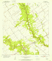
1951 · Inez
USGS Topo · 1:24,000
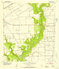
1952 · Manson
USGS Topo · 1:24,000
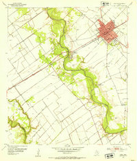
1952 · Edna
USGS Topo · 1:24,000
1952 · La Salle
USGS Topo · 1:24,000
1952 · Marcado Creek
USGS Topo · 1:24,000
1952 · Lolita
USGS Topo · 1:24,000

1953 · Beeville
USGS Topo · 1:250,000

1953 · Seguin
USGS Topo · 1:250,000

1956 · Beeville
USGS Topo · 1:250,000

1958 · Seguin
USGS Topo · 1:250,000