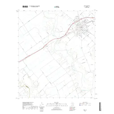
2019 Map of Edna
USGS Topo · Published 2019About this map
The Edna city center occupies the northeast quadrant of this coastal prairie landscape, where the street grid of the Jackson County seat meets the winding course of the Lavaca River. This riverine environment is defined by its seasonal drainage patterns, with Post Oak Br and Dry Cr feeding into the main channel as it flows toward the Gulf. Southwest of the main settlement lies El Toro, a small community situated along the primary transportation corridor of the era. The land use here reflects a long history of aviation and agriculture, notably marked by the Kubecka Flying Service Inc. airfield near the town limits. Local heritage is deeply rooted in several historical burial grounds and religious sites scattered across the flats, including the Prairie City Cem, Sayle Cem, and Gideon Baptist Chur near the Jackson and Victoria county line. The presence of Brick Factory Springs in the southern reaches suggests the early industrial utilization of local clay and water resources.
Find a feature on this map
111 named features on this map. Tap any name to fly to it.
Don’t see what you’re looking for? This feature index may not catch every label — zoom into the map to look around manually.
Map Details
Editions of this 2019 Edna Map
This is the sole edition of this map. No revisions or reprints were ever made.
Other maps of this area
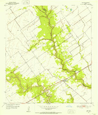
1951 · Inez
USGS Topo · 1:24,000
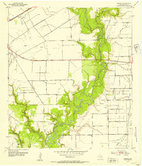
1952 · Manson
USGS Topo · 1:24,000
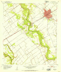
1952 · Edna
USGS Topo · 1:24,000
1952 · La Salle
USGS Topo · 1:24,000
1952 · Marcado Creek
USGS Topo · 1:24,000
1952 · Lolita
USGS Topo · 1:24,000

1953 · Beeville
USGS Topo · 1:250,000

1953 · Seguin
USGS Topo · 1:250,000

1956 · Beeville
USGS Topo · 1:250,000

1958 · Seguin
USGS Topo · 1:250,000