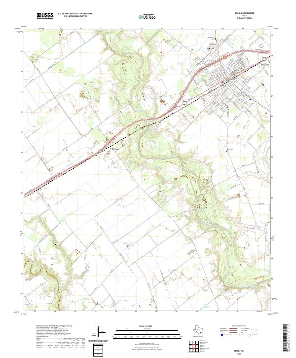
2022 Map of Edna
USGS Topo · Published 2022About this map
The Lavaca River meanders through the heart of Jackson County, anchoring a landscape where rural ranching traditions meet the administrative center of Edna. As the county seat, the town is oriented around the Jackson County Courthouse, with a grid of residential streets extending toward the Kubecka Flying Service Inc on the eastern edge. The surrounding terrain is defined by a network of drainage creeks including Post Oak Br and Dry Cr, which flow through undulating topography marked by numerous springs and small water bodies, such as the Brick Factory Springs located near the southern bend of the river.
Find a feature on this map
108 named features on this map. Tap any name to fly to it.
Don’t see what you’re looking for? This feature index may not catch every label — zoom into the map to look around manually.
Map Details
Editions of this 2022 Edna Map
This is the sole edition of this map. No revisions or reprints were ever made.
Other maps of this area

1951 · Inez
USGS Topo · 1:24,000

1952 · Manson
USGS Topo · 1:24,000

1952 · Edna
USGS Topo · 1:24,000

1952 · La Salle
USGS Topo · 1:24,000

1952 · Marcado Creek
USGS Topo · 1:24,000

1952 · Lolita
USGS Topo · 1:24,000

1953 · Beeville
USGS Topo · 1:250,000

1953 · Seguin
USGS Topo · 1:250,000

1956 · Beeville
USGS Topo · 1:250,000

1958 · Seguin
USGS Topo · 1:250,000