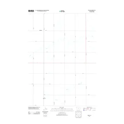
2013 Map of Edna
USGS Topo · Published 2013About this map
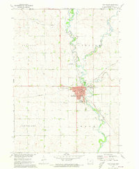
The small settlement of Edna sits in the southwestern corner of this Lyon County landscape, where Madison Ave meets the section lines. This 2013 survey illustrates the highly organized agricultural grid of northwest Iowa, defined by numbered streets and family-named avenues such as Ibex Ave and Jefferson Ave. While the terrain is dominated by these rectilinear property boundaries, natural drainage patterns like Tom Cr and Emery Cr meander through the fields, creating the only irregular breaks in the landscape. Further north, the name Midland appears along 120th St, marking another point of local significance in this rural township. The map serves as a precise record of late-twentieth and early twenty-first-century land use, showing the endurance of the township-and-range system in defining the geography of the Midwest.
Find a feature on this map
19 named features on this map. Tap any name to fly to it.
Don’t see what you’re looking for? This feature index may not catch every label — zoom into the map to look around manually.
Map Details
Editions of this 2013 Edna Map
This is the sole edition of this map. No revisions or reprints were ever made.
Other maps of this area

1954 · Fairmont
USGS Topo · 1:250,000
1955 · Sioux Falls
USGS Topo · 1:250,000
1958 · Sioux Falls
USGS Topo · 1:250,000

1958 · Fairmont
USGS Topo · 1:250,000
1967 · Adrian SW
USGS Topo · 1:24,000
1967 · Ellsworth
USGS Topo · 1:24,000
1967 · Ash Creek
USGS Topo · 1:24,000
1971 · Edna
USGS Topo · 1:24,000
1971 · George West
USGS Topo · 1:24,000
1971 · Rock Rapids
USGS Topo · 1:24,000