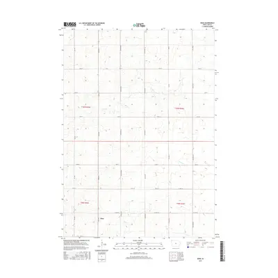
2015 Map of Edna
USGS Topo · Published 2015About this map
Edna sits as the central settlement in this portion of Lyon County, defined by its position in the section-line road network of northwestern Iowa. The landscape is characterized by the headwaters of Tom Cr and Emery Cr, which carve subtle drainage patterns through the agricultural landscape. Surveyed in the 21st century, the map reveals the rigid organization of the Public Land Survey System, with townships t100n r45w, t100n r44w, t99n r45w, and t99n r44w meeting here. The infrastructure is primarily composed of county highways such as Co Hwy A22 and named local routes like Indian Ave and Jackson Ave, which provide the skeleton for the region's farming economy.
Find a feature on this map
23 named features on this map. Tap any name to fly to it.
Don’t see what you’re looking for? This feature index may not catch every label — zoom into the map to look around manually.
Map Details
Editions of this 2015 Edna Map
This is the sole edition of this map. No revisions or reprints were ever made.
Other maps of this area

1954 · Fairmont
USGS Topo · 1:250,000

1955 · Sioux Falls
USGS Topo · 1:250,000

1958 · Sioux Falls
USGS Topo · 1:250,000

1958 · Fairmont
USGS Topo · 1:250,000

1967 · Adrian SW
USGS Topo · 1:24,000

1967 · Ellsworth
USGS Topo · 1:24,000

1967 · Ash Creek
USGS Topo · 1:24,000

1971 · Edna
USGS Topo · 1:24,000

1971 · George West
USGS Topo · 1:24,000

1971 · Rock Rapids
USGS Topo · 1:24,000