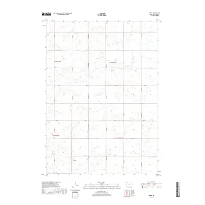
2018 Map of Edna
USGS Topo · Published 2018About this map
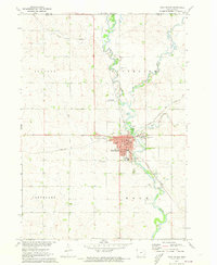
The small settlement of Edna sits at a rural crossroads in the southwestern corner of this Lyon County landscape, where the agricultural grid of Northwest Iowa is defined by a precise network of range and township lines. Waterways like Tom Cr and Emery Cr meander across the terrain, providing natural breaks in the otherwise geometric layout of section roads. The map highlights the intersection of local transportation and topography, with major thoroughfares such as Co Hwy A22 and Co Hwy 22 connecting the isolated farmsteads. Named avenues including Ibex Ave, Indian Ave, and Iowa 91 Ave demonstrate the systematic land division of the region, while the presence of the T100N and T99N township boundaries reflects the enduring influence of the Public Land Survey System on the modern Iowa prairie.
Find a feature on this map
23 named features on this map. Tap any name to fly to it.
Don’t see what you’re looking for? This feature index may not catch every label — zoom into the map to look around manually.
Map Details
Editions of this 2018 Edna Map
This is the sole edition of this map. No revisions or reprints were ever made.
Other maps of this area

1954 · Fairmont
USGS Topo · 1:250,000
1955 · Sioux Falls
USGS Topo · 1:250,000
1958 · Sioux Falls
USGS Topo · 1:250,000

1958 · Fairmont
USGS Topo · 1:250,000
1967 · Adrian SW
USGS Topo · 1:24,000
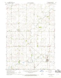
1967 · Ellsworth
USGS Topo · 1:24,000
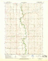
1967 · Ash Creek
USGS Topo · 1:24,000
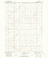
1971 · Edna
USGS Topo · 1:24,000
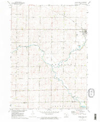
1971 · George West
USGS Topo · 1:24,000
1971 · Rock Rapids
USGS Topo · 1:24,000