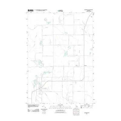
2011 Map of Edwards
USGS Topo · Published 2011About this map
Edwards sits at the heart of this landscape, where the Middle Branch Tittabawassee River and several of its tributaries, including Mansfield Creek and Chatman Creek, define the drainage of Ogemaw County. The settlement pattern is largely defined by small lakes and watercourses, with the Edwards Cemetery serving as a central point for local genealogy. The map shows a clear division between the more developed southern clusters near Indian Lake and Elk Lake and the northern reaches leading toward Tolfee Hill. The topography is marked by numerous natural basins, creating a patchwork of small bodies of water such as Tee Lake, Gear Lake, and Frost Lake. Local thoroughfares like Diebold Ranch Rd and Edwards School Rd provide the framework for rural life in this Michigan township during the early 21st century.
Find a feature on this map
69 named features on this map. Tap any name to fly to it.
Don’t see what you’re looking for? This feature index may not catch every label — zoom into the map to look around manually.
Map Details
Editions of this 2011 Edwards Map
This is the sole edition of this map. No revisions or reprints were ever made.
Other maps of this area

1954 · Traverse City
USGS Topo · 1:250,000

1958 · Traverse City
USGS Topo · 1:250,000

1965 · West Branch
USGS Topo · 1:24,000

1965 · St. Helen
USGS Topo · 1:24,000

1965 · Ogemaw Springs
USGS Topo · 1:24,000

1968 · Sterling SW
USGS Topo · 1:24,000

1968 · Sterling NW
USGS Topo · 1:24,000

1969 · Edwards
USGS Topo · 1:24,000

1969 · Butman
USGS Topo · 1:24,000

1969 · Wagarville
USGS Topo · 1:24,000