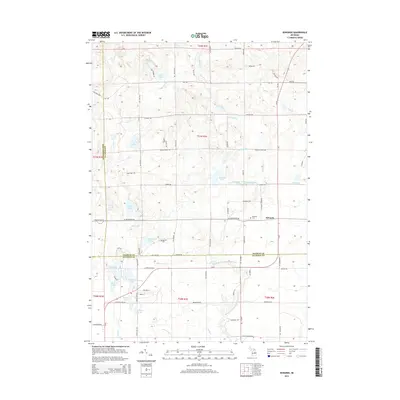
2014 Map of Edwards
USGS Topo · Published 2014About this map
Edwards is the primary settlement on this map, situated in a landscape defined by an intricate network of glacial lakes and the winding Middle Br Tittabawassee River. The area's geography is notably saturated with water bodies, from larger basins like Tee Lake and Edwards Lake to the smaller Little Frost Lake and Dollar Lake. Local heritage is anchored at the Edwards Cem, located just west of the main cluster of buildings. The hydrology of the region is complex, with several drainage systems including Chatman Cr and Mansfield Cr feeding into the larger river system. This survey illustrates a quiet, rural community where the road network, such as Diebold Ranch Rd and Edwards School Rd, follows the section lines and natural contours of the lake-studded terrain at the border of Ogemaw and Gladwin counties.
Find a feature on this map
83 named features on this map. Tap any name to fly to it.
Don’t see what you’re looking for? This feature index may not catch every label — zoom into the map to look around manually.
Map Details
Editions of this 2014 Edwards Map
This is the sole edition of this map. No revisions or reprints were ever made.
Other maps of this area

1954 · Traverse City
USGS Topo · 1:250,000

1958 · Traverse City
USGS Topo · 1:250,000

1965 · West Branch
USGS Topo · 1:24,000

1965 · St. Helen
USGS Topo · 1:24,000

1965 · Ogemaw Springs
USGS Topo · 1:24,000

1968 · Sterling SW
USGS Topo · 1:24,000

1968 · Sterling NW
USGS Topo · 1:24,000

1969 · Edwards
USGS Topo · 1:24,000

1969 · Butman
USGS Topo · 1:24,000

1969 · Wagarville
USGS Topo · 1:24,000