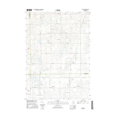
2017 Map of Edwards
USGS Topo · Published 2017About this map
Edwards Township and its surrounding lake-studded landscape define this area near the junction of Ogemaw, Gladwin, and Roscommon counties. The headwaters of the Middle Br Tittabawassee River flow through the eastern half of the map, while the western portion is dominated by a chain of water bodies including Tee Lake, Frost Lake, and Elk Lake. For those researching local history or families, the Edwards Cem is a central landmark located near the community center along Greenwood Rd. The map reveals a transition from the wetland environments of Harcourt Swamp and Sidney Swamp in the north to the more structured roads and lakes further south. Named trails like the Jack Morris Trl and John Vogt Trl reflect a mix of recreational and utility access across the township's varied terrain.
Find a feature on this map
84 named features on this map. Tap any name to fly to it.
Don’t see what you’re looking for? This feature index may not catch every label — zoom into the map to look around manually.
Map Details
Editions of this 2017 Edwards Map
This is the sole edition of this map. No revisions or reprints were ever made.
Other maps of this area

1954 · Traverse City
USGS Topo · 1:250,000

1958 · Traverse City
USGS Topo · 1:250,000

1965 · West Branch
USGS Topo · 1:24,000

1965 · St. Helen
USGS Topo · 1:24,000

1965 · Ogemaw Springs
USGS Topo · 1:24,000

1968 · Sterling SW
USGS Topo · 1:24,000

1968 · Sterling NW
USGS Topo · 1:24,000

1969 · Edwards
USGS Topo · 1:24,000

1969 · Butman
USGS Topo · 1:24,000

1969 · Wagarville
USGS Topo · 1:24,000