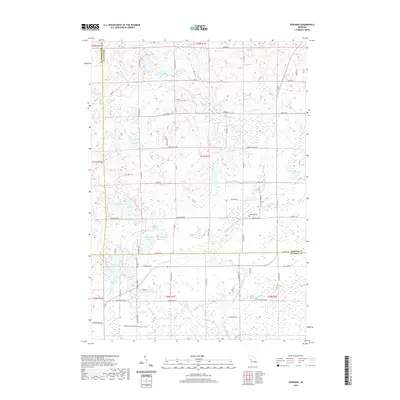
2019 Map of Edwards
USGS Topo · Published 2019About this map
Harcourt Swamp and Sidney Swamp dominate the northern landscape of this region, which sits at the intersection of Ogemaw, Roscommon, and Gladwin counties. The terrain is defined by a dense network of glacial lakes and small drainage creeks like Mansfield Cr and Noren Cr. Local infrastructure is anchored by the Edwards Cem and the Edwards School Rd, which serve as key landmarks for the rural community. To the south, the waters of the Middle Br Tittabawassee River wind through the wetlands, reflecting a landscape that has historically balanced small-scale settlement with recreational preservation. The presence of the Midland to Mackinaw Boy Scout Trail in the southwest corner highlights the area's significance for regional outdoor travel and heritage. Small clusters of residences appear near named water bodies such as Elk Lake, Indian Lake, and Tee Lake, showcasing how local development follows the lakefronts.
Find a feature on this map
78 named features on this map. Tap any name to fly to it.
Don’t see what you’re looking for? This feature index may not catch every label — zoom into the map to look around manually.
Map Details
Editions of this 2019 Edwards Map
This is the sole edition of this map. No revisions or reprints were ever made.
Other maps of this area

1954 · Traverse City
USGS Topo · 1:250,000

1958 · Traverse City
USGS Topo · 1:250,000

1965 · West Branch
USGS Topo · 1:24,000

1965 · St. Helen
USGS Topo · 1:24,000

1965 · Ogemaw Springs
USGS Topo · 1:24,000

1968 · Sterling SW
USGS Topo · 1:24,000

1968 · Sterling NW
USGS Topo · 1:24,000

1969 · Edwards
USGS Topo · 1:24,000

1969 · Butman
USGS Topo · 1:24,000

1969 · Wagarville
USGS Topo · 1:24,000