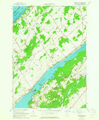
1963 Map of Edwardsville
USGS Topo · Published 1965About this map
Black Lake dominates this mid-century survey of St. Lawrence County, stretching through the center of the map and defining the local geography with features like Upper Big Bay, Jennies Island, and Mitchell Bay. Small farming communities and rural intersections characterize the settlement pattern, including Edwardsville and Oak Point. The map reflects a deeply rooted landscape of family-named roads and landmarks, where community life centered around places like the Stone Ch and the Scotch Bush Grange.
Find a feature on this map
39 named features on this map. Tap any name to fly to it.
Don’t see what you’re looking for? This feature index may not catch every label — zoom into the map to look around manually.
Map Details
Editions of this 1963 Edwardsville Map
2 editions found
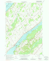
Other maps of this area

1904 · Ogdensburg
USGS Topo · 1:62,500

1905 · Ogdensburg
USGS Topo · 1:62,500

1906 · Brier Hill
USGS Topo · 1:62,500

1912 · Hammond
USGS Topo · 1:62,500

1915 · Gouverneur
USGS Topo · 1:62,500

1937 · Gouverneur
USGS Topo · 1:62,500

1942 · Morristown
USGS Topo · 1:24,000

1943 · Ogdensburg East
USGS Topo · 1:31,680

1943 · Morristown
USGS Topo · 1:31,680

1943 · Edwardsville
USGS Topo · 1:31,680